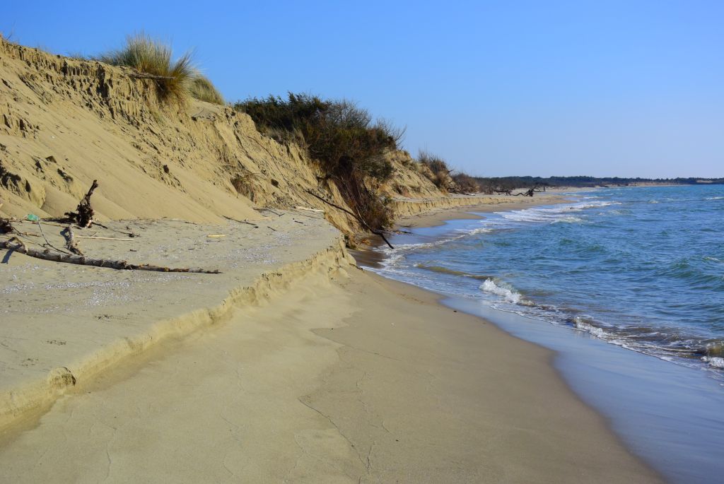
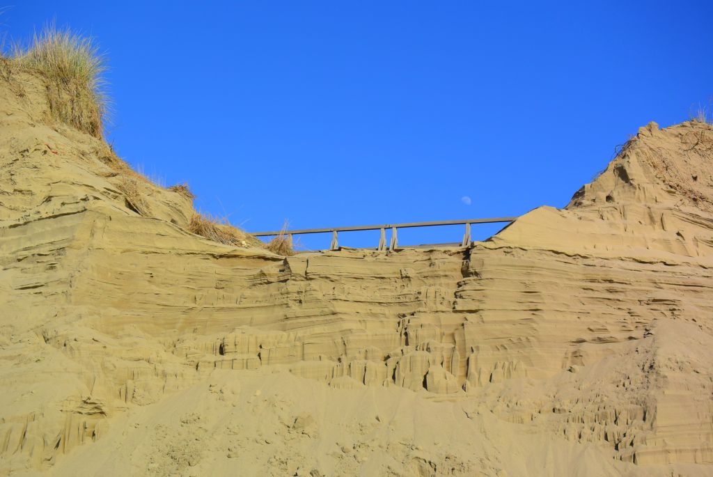
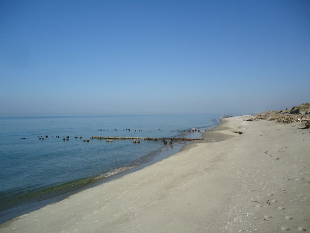
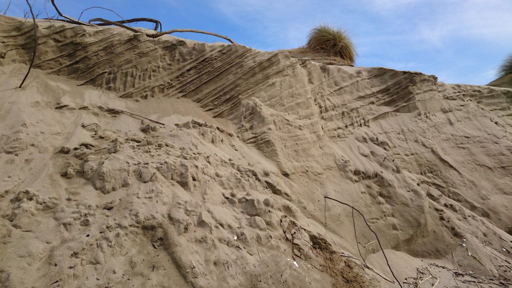
The preservation of the coast is a major challenge that any municipality, whose economy revolves on beach resorts and/or port-related activities, is facing in the new millennium. In the past decades the coastal erosion issue was often addressed with the realization of hard protection structures (e.g. groynes and breakwaters) to counteract the erosion processes, sometimes without taking into full account the consequences on the adjacent sectors of the coast. Artificial replenishments were also frequently used to restore suffering beaches: even though they were deemed as a softer approach relative to groynes and breakwaters, beach fills were still intended to fix a local problem. Therefore, the concept that needs to permeate any layer, from the decision-makers to the stakeholders and finally to the scientists, is to start thinking of the coastal system at a larger scale, from the drainage basin to the sea along an imaginary cross-shore transect, and also in terms of physiographic unit along the coast. A wise and effective coastal management depends on a strong and influential governance that might be able to cross the administrative limits, thus allowing to consider the erosion issue in terms of littoral cells and no more locally.
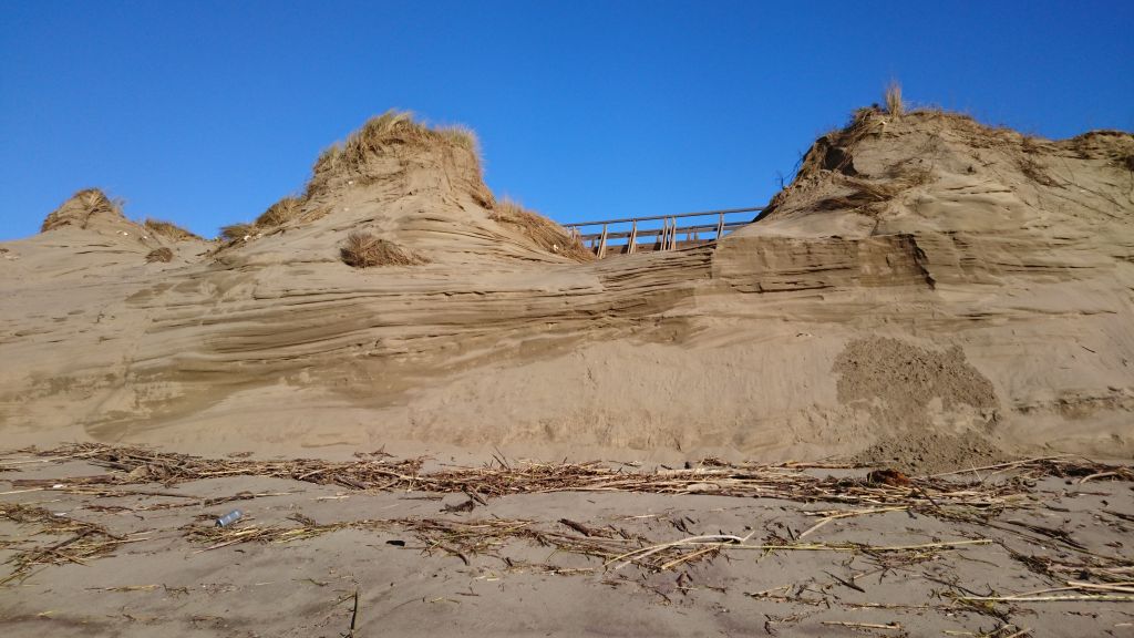
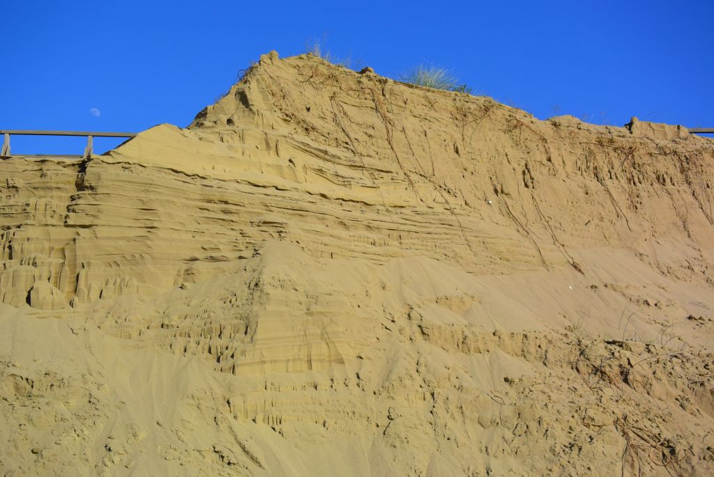
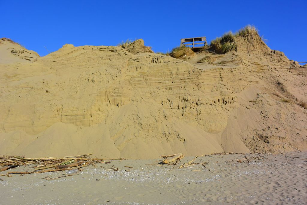
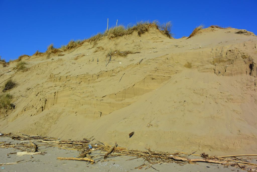
The first step is to welcome a paradigm shift: the evolution of the coastal environment is not just affected by the processes acting along the shoreline, but also on the drainage basin and along river courses. The transversal scale (the well-known “source-to-sink” approach) needs to be taken into full consideration because a paramount question still without clear answer is how much sediment is delivered by rivers to the coast; and as a consequence, how much of this sediment is further displaced offshore to a depth where no process is able to bring it back to the beach. Two questions in need of urgent response, because no evaluation of sediment budget can ever be made without quantitative answers to these burning questions. Nonetheless, the longitudinal scale must be addressed in terms of physiographic unit: too often the beaches have been managed locally, basically overlooking the consequences of any kind of intervention may induce on the adjacent sectors of coast. A wise plan to counteract the erosion effects and to a further extent to manage the coastlines includes a proper redistribution of the sand, which must not depend on the administrative limits of municipalities. It is imperative that the redistribution of sediments from accreting areas to retreating areas via either by-passing or back-passing has to be managed without any interference due to city limits. In all this, the collaboration between any social layer should be particularly stressed: sharing knowledge and setting up actions involving universities, local governments, stakeholders, professionals, schools, and citizens must be the focal point to make conscious decisions in accordance with the precautionary approach and to efficiently counteract the erosion issue along the Tuscany coast.
In an effort to achieve all the above mentioned targets and goals, the Department of Geosciences of the University of Pisa has recently reached an agreement with departments from the other Tuscany universities, Firenze and Siena, for a mutual collaboration with the purpose to proficiently cooperate and to share knowledge and results about coastal processes and management. The team is composed by professors and researchers affiliated to the Department of Geosciences and the Department of Biology of the University of Pisa, the Department of Geosciences of the University of Florence, and the Department of Information Engineering and Mathematical Science of the University of Siena. The team agreed to accept the concept of the double scale (transversal and longitudinal) to address any issue related to coastal processes and management: the “coast system” can be really understood only if knowledge about the three sectors “drainage basin – coast – sea” increases collectively and not separately. A multidisciplinary approach was perceived as the best to gain immediate results: the groups affiliated to the three Tuscany universities put into effect the collaboration sharing knowledge, equipment and low-cost technologic solutions.
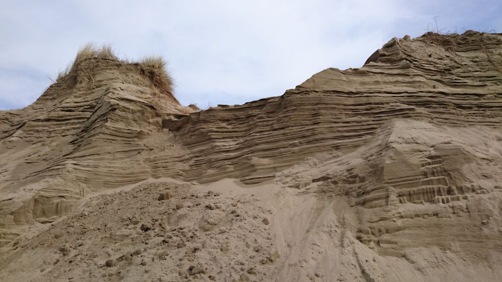
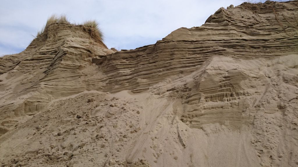
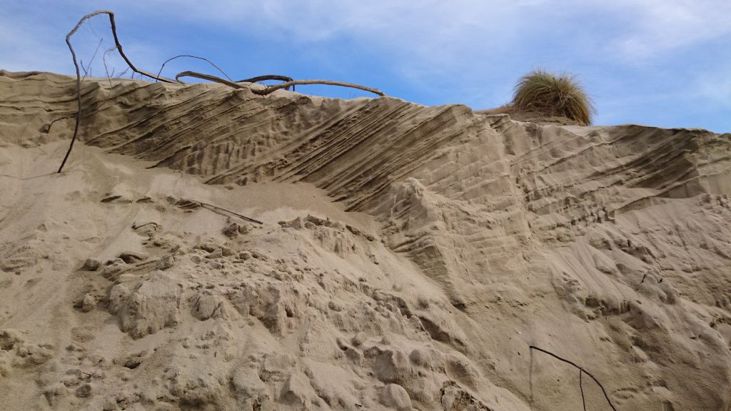
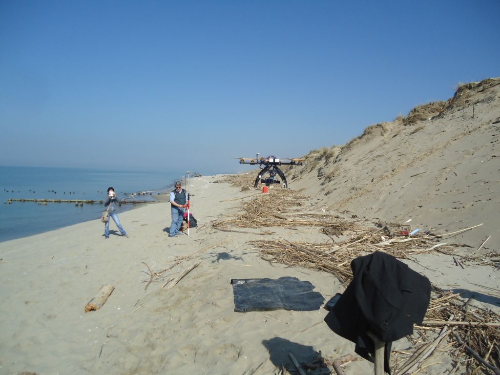
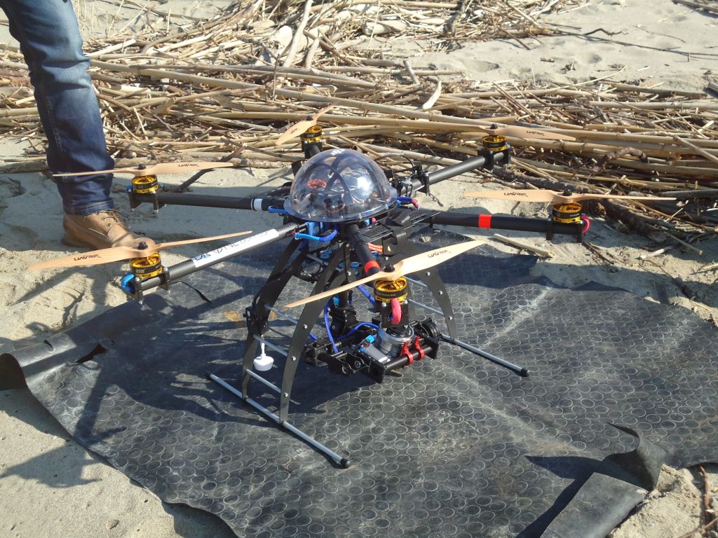
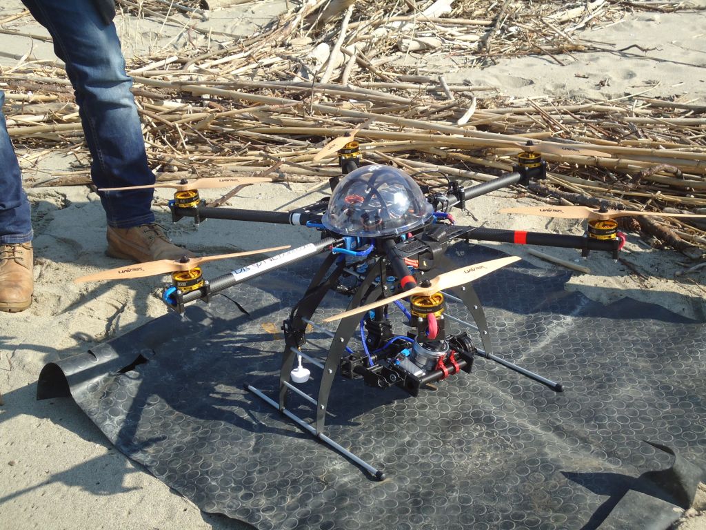
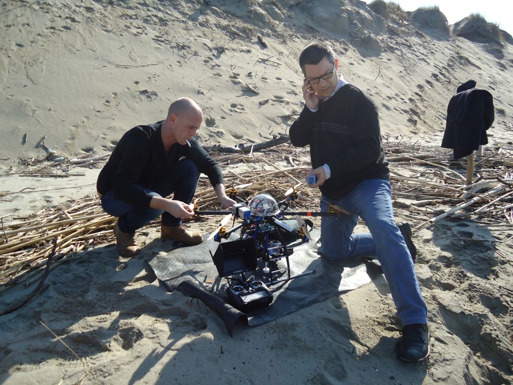
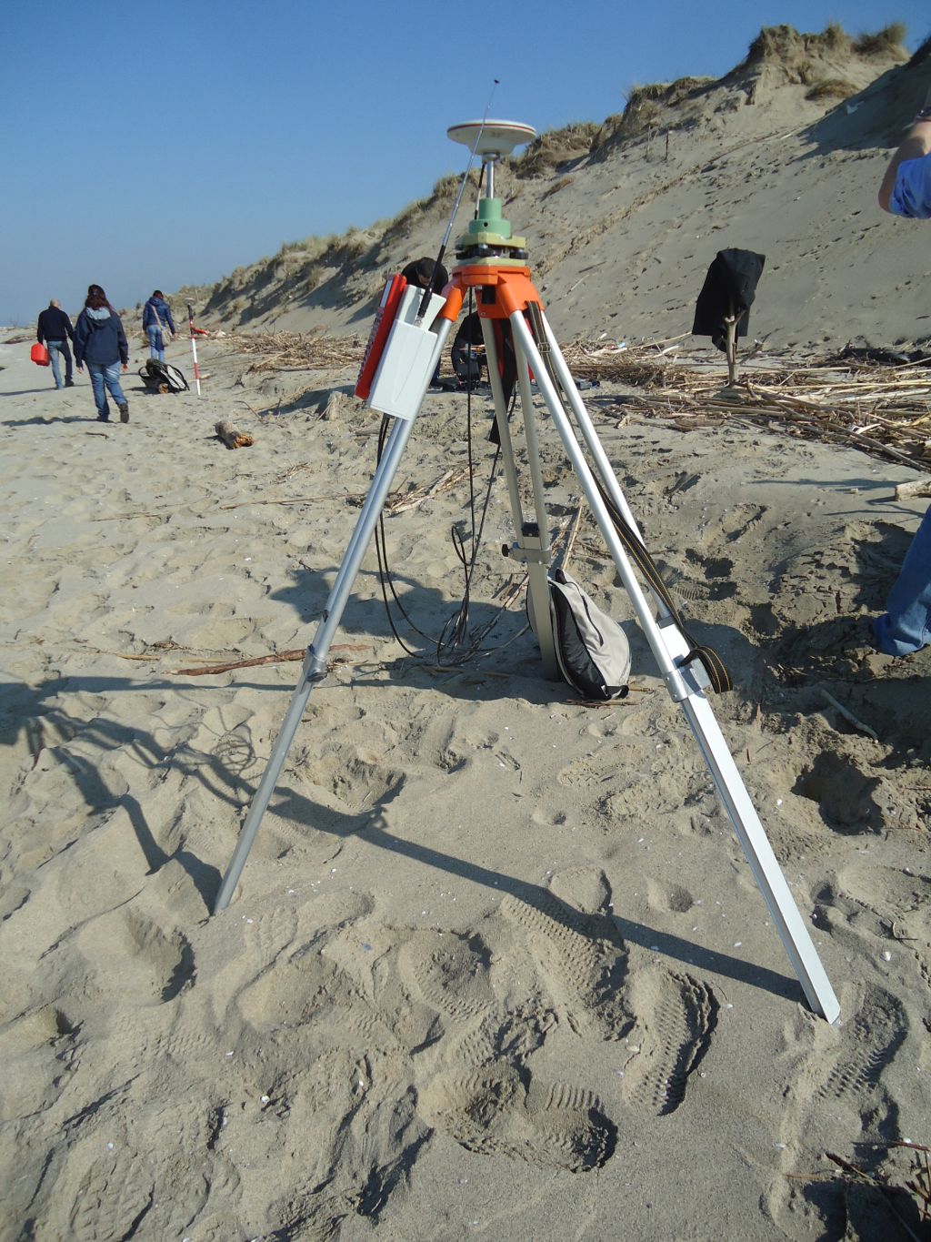
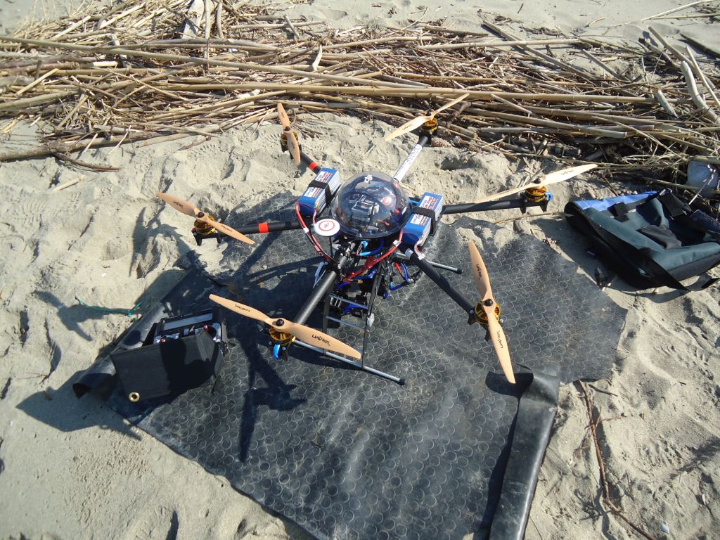
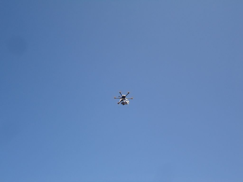
Here are the activities the team proposes to carry out on the drainage basin: first of all, an exhaustive landslide mapping and monitoring will be undergone to make evaluations of the erosion processes yielding sediments i) at a basin scale by means of an analysis of optical and radar satellite images, and ii) at a local scale by means of UAVs equipped with optical camera and of a laser scanner. Satellite images are also useful to define fluvial dynamics, which will be also described by the development of mathematical models. Sediment dispersion at river mouths will be addressed by means of a land-based thermic camera. At last, fluvial sediment transport will be studied through either traditional sedimentological and geochemical analyses and the development of low-cost technical solutions based on wireless sensors and the ZigBee protocol: these solution might also be instrumental for suspended load measurements. Devices such as densimeters and sediment traps will be adapted and customized to be able to record real time measurements of both suspended and bed loads: they will be deployed in particular in river mouth areas. Video-analysis techniques will also be used to estimate river bed load.
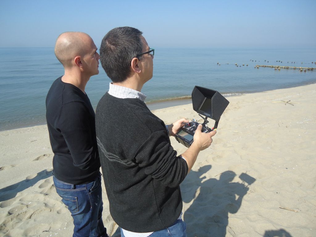
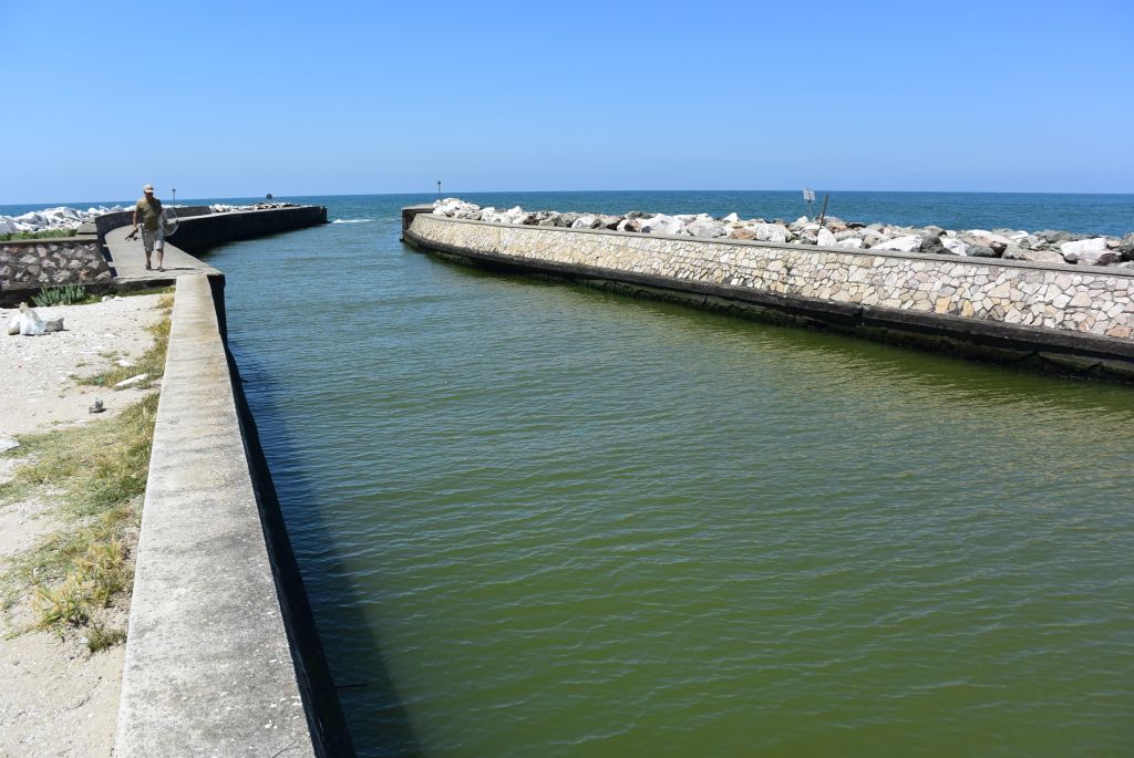
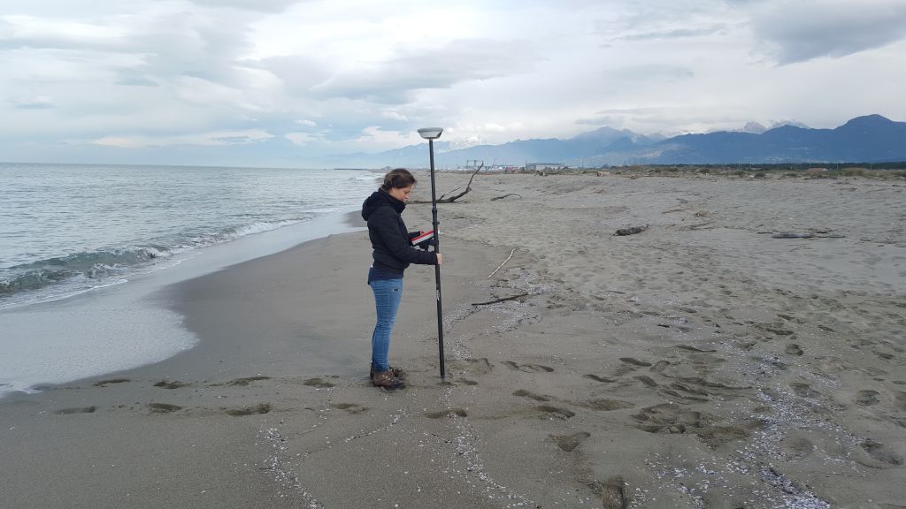
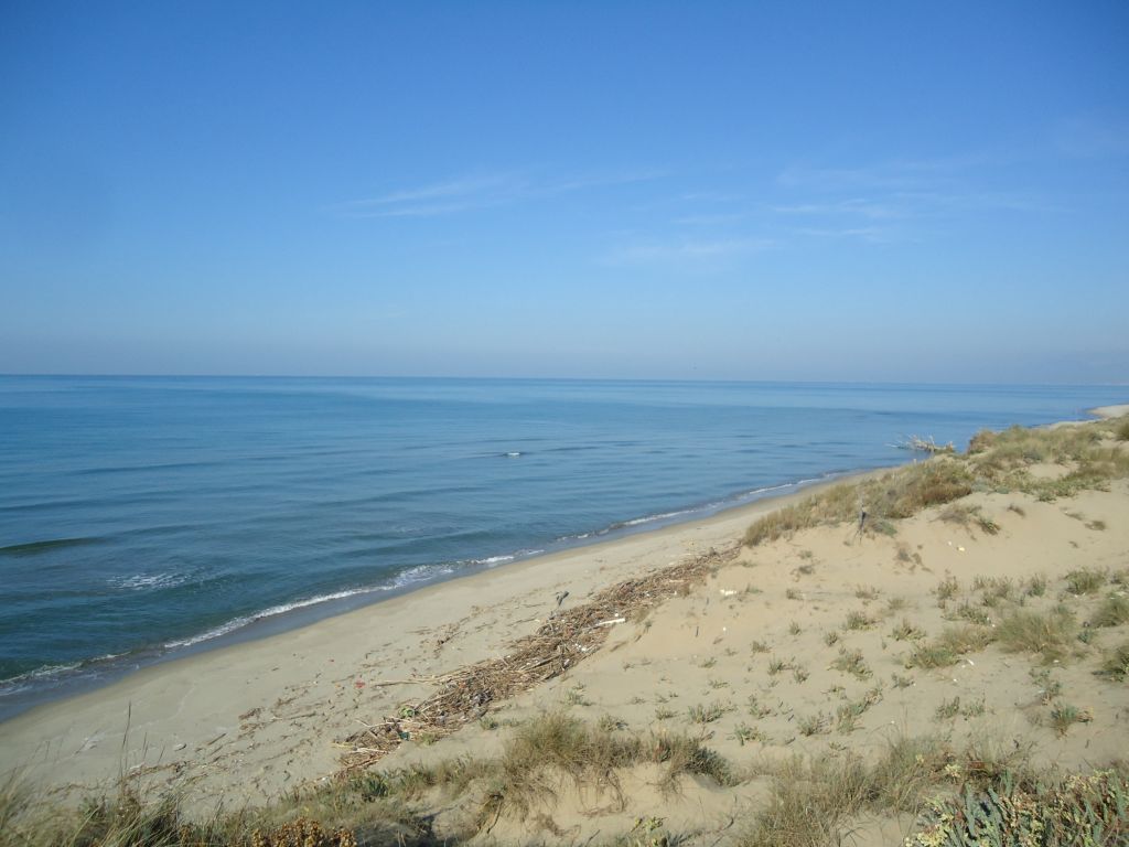
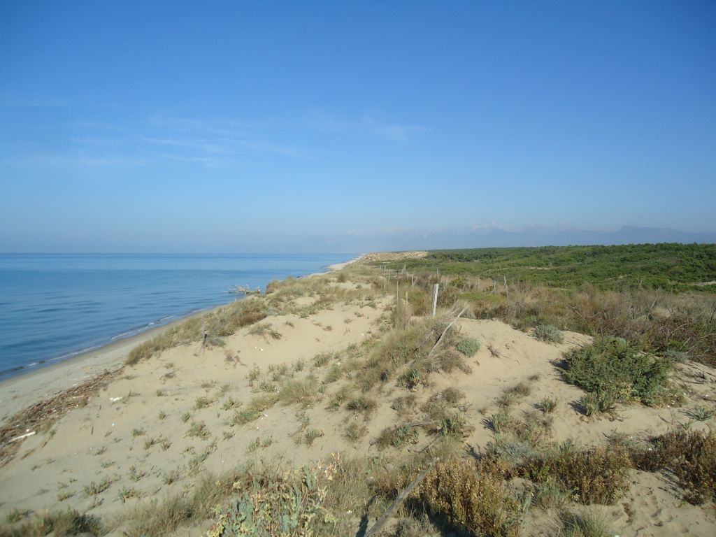
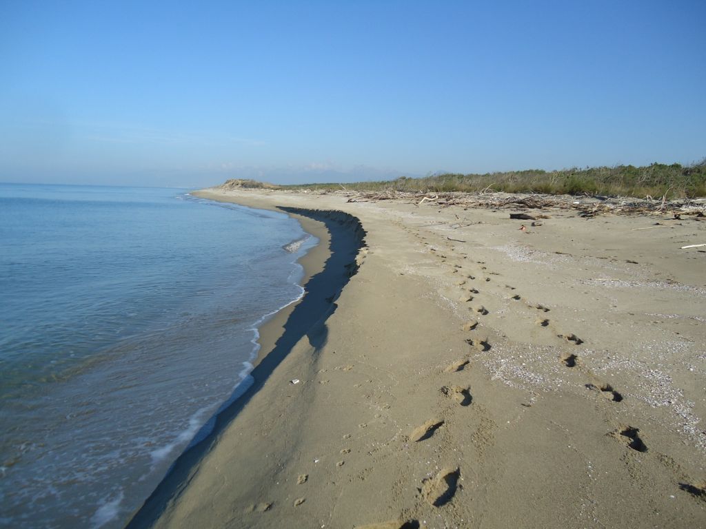
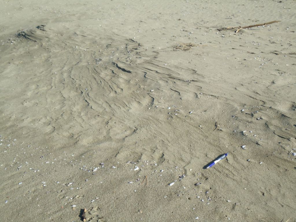
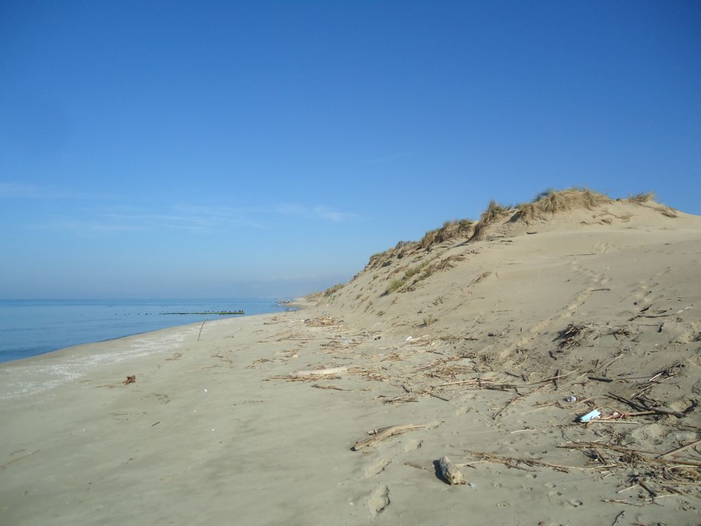
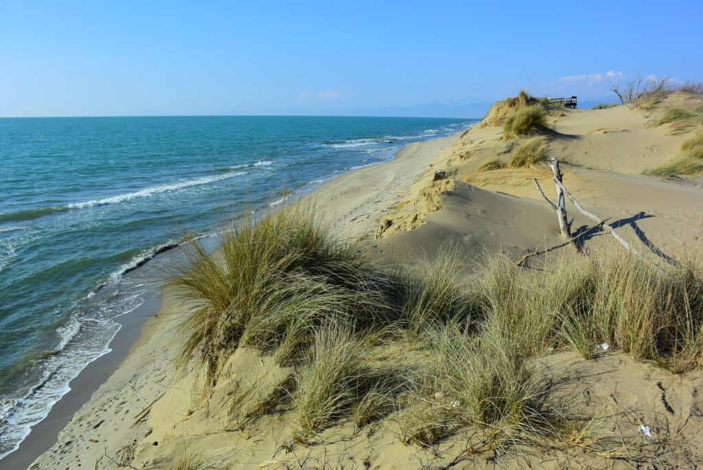
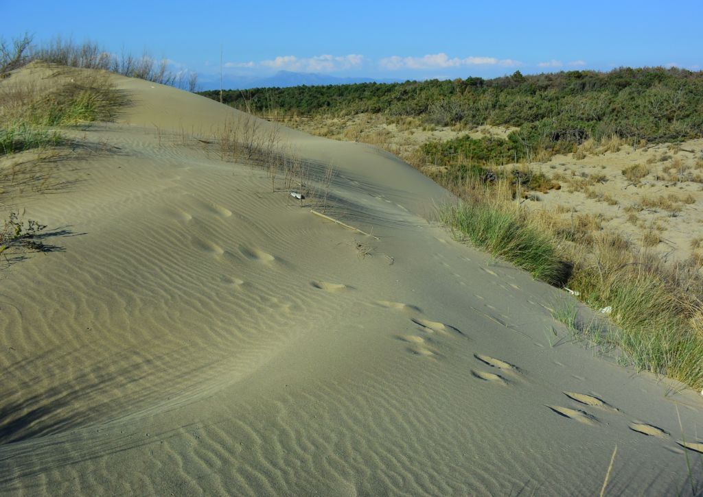
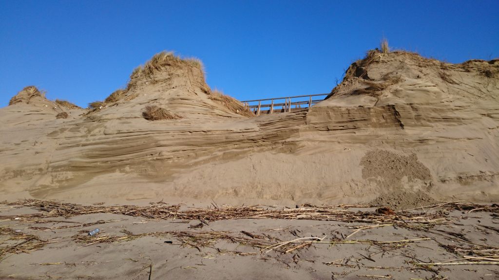
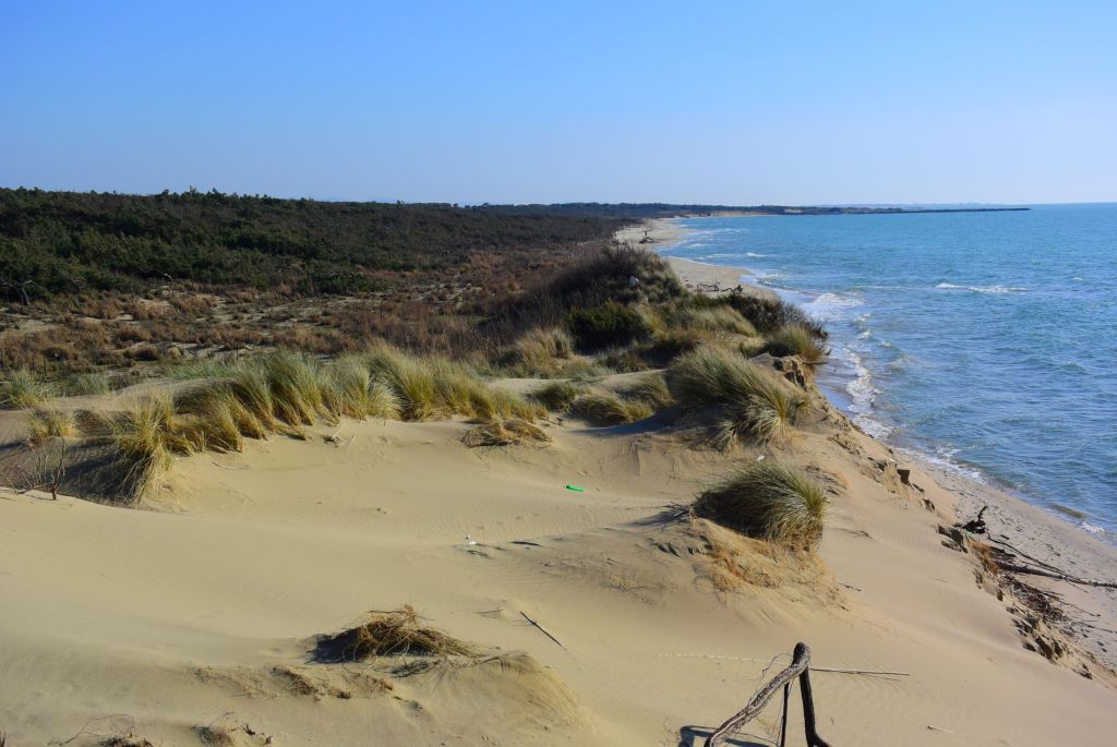
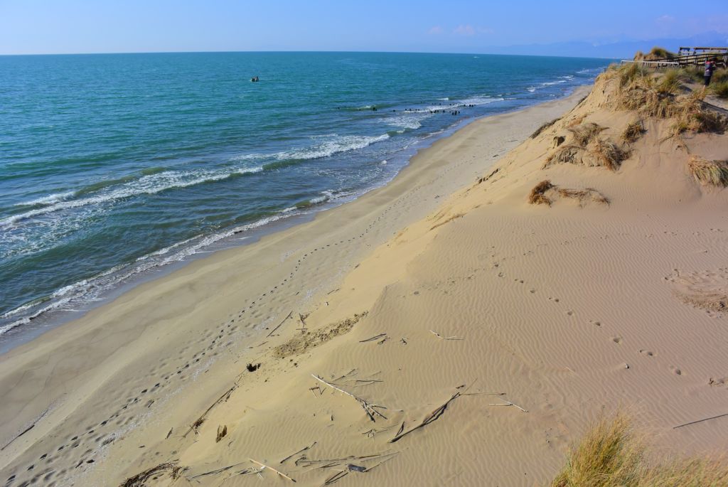
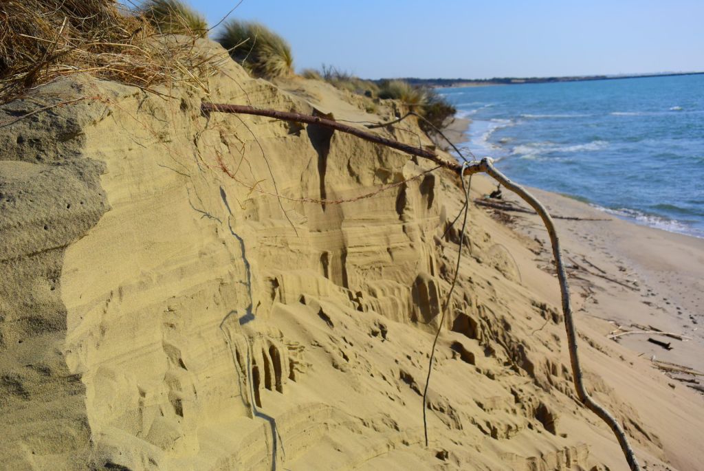
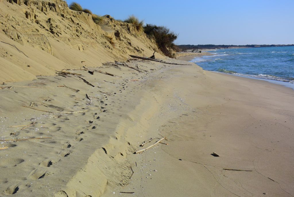
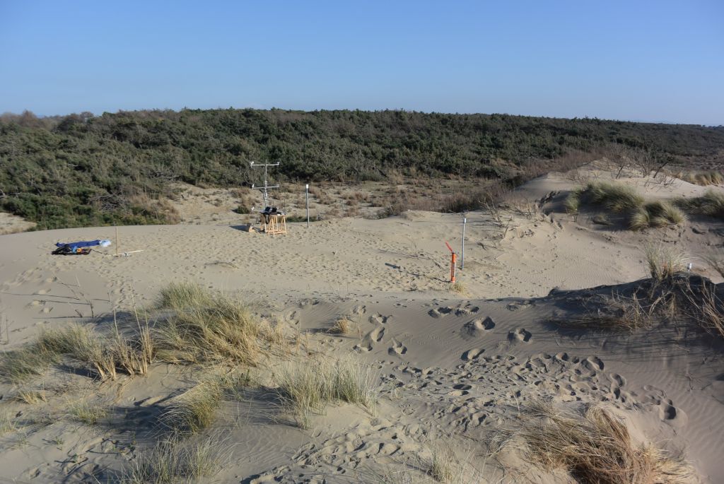
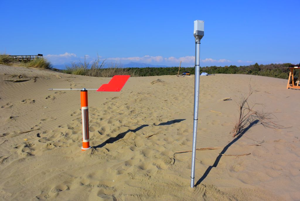
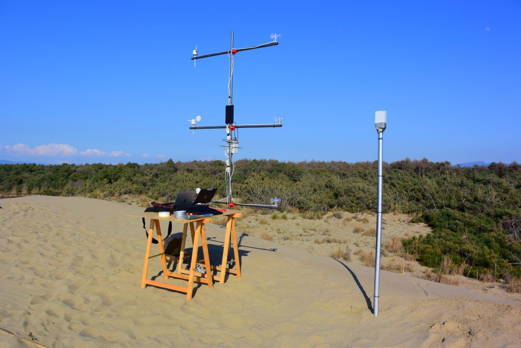
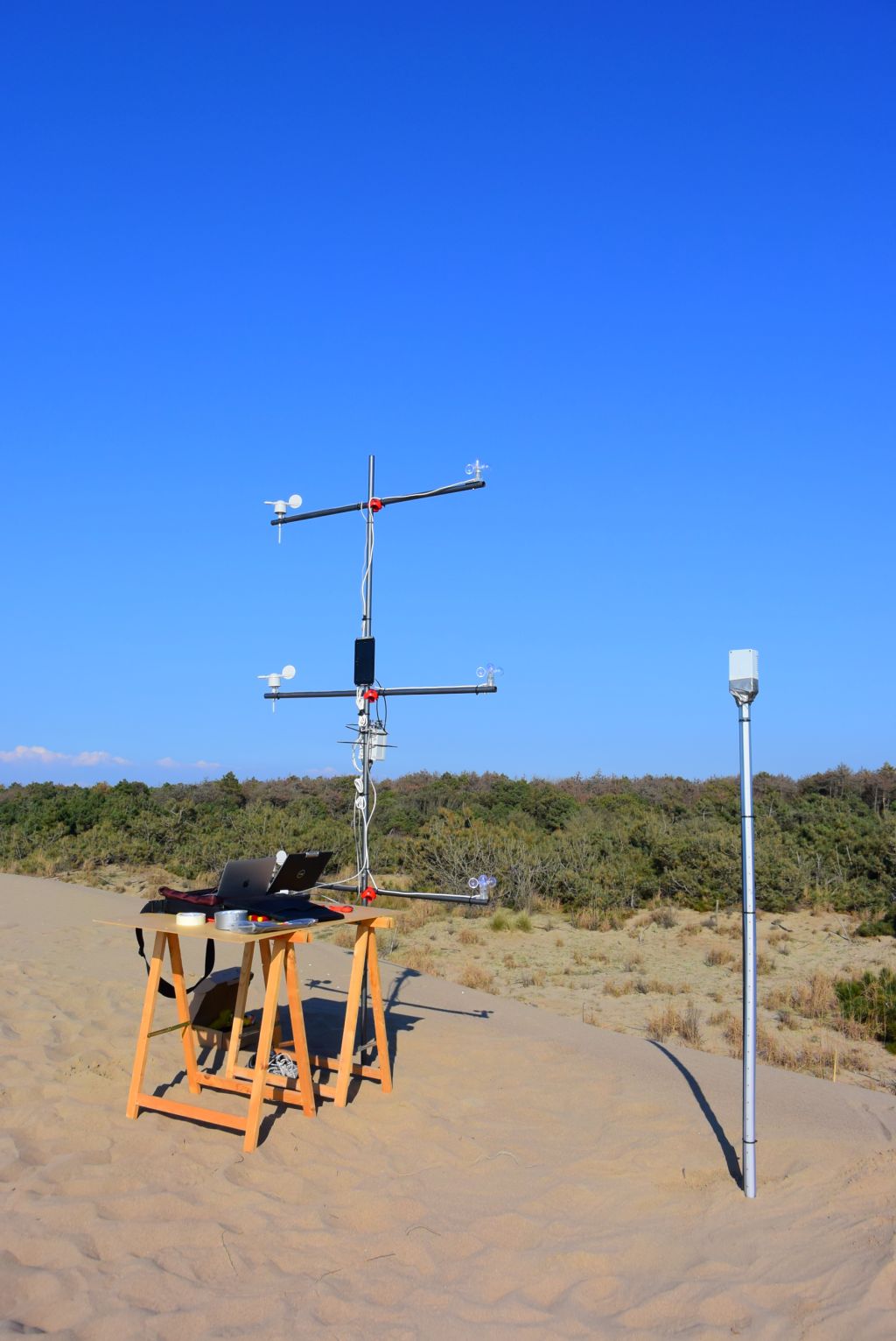
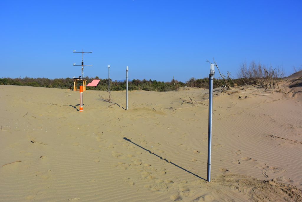
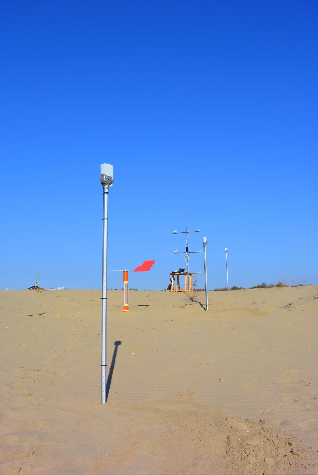
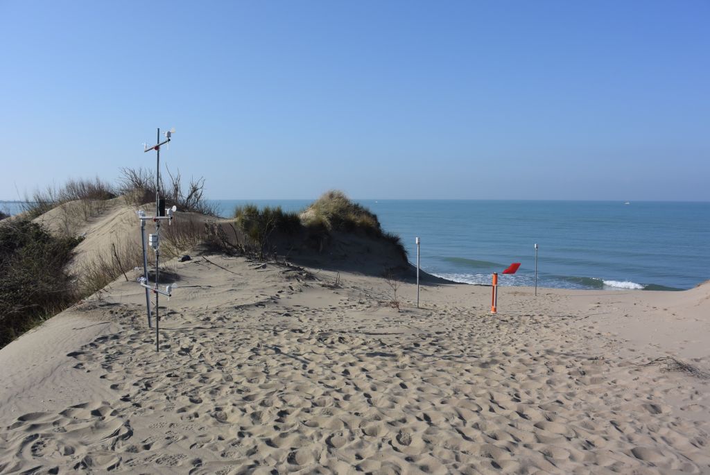
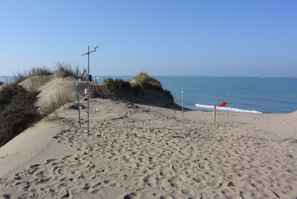
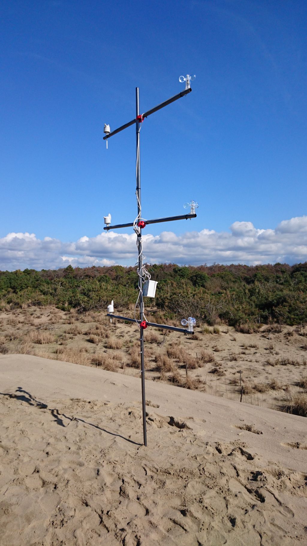
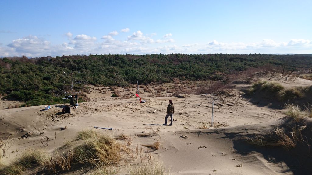
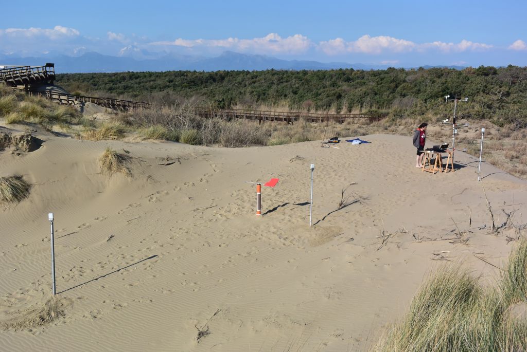
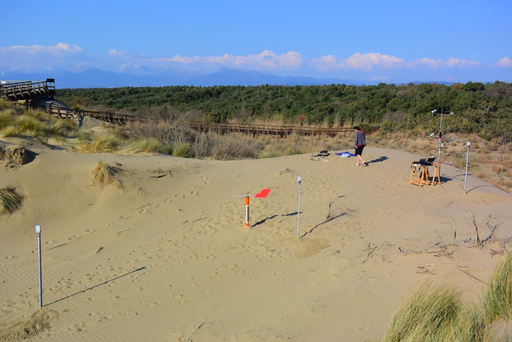
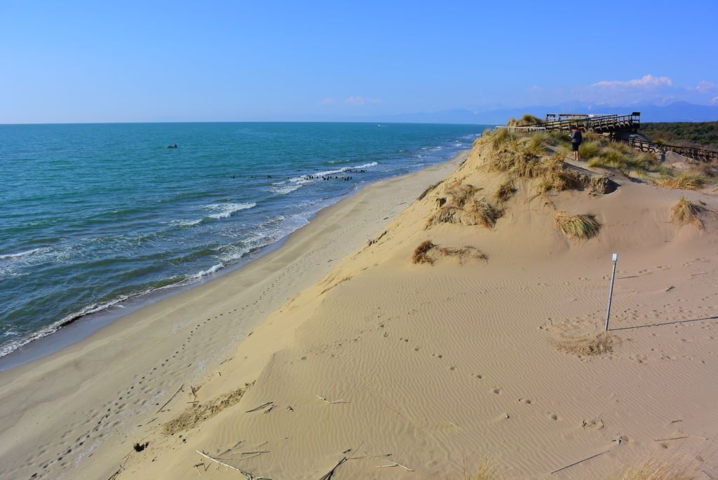
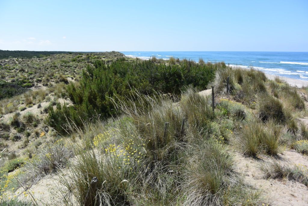
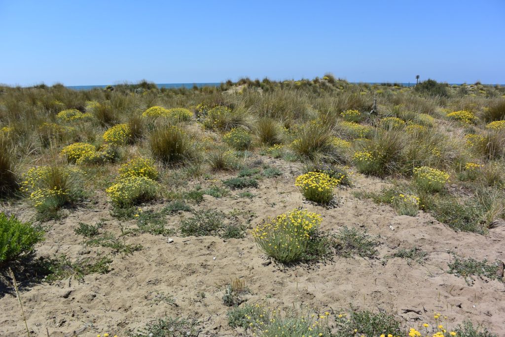
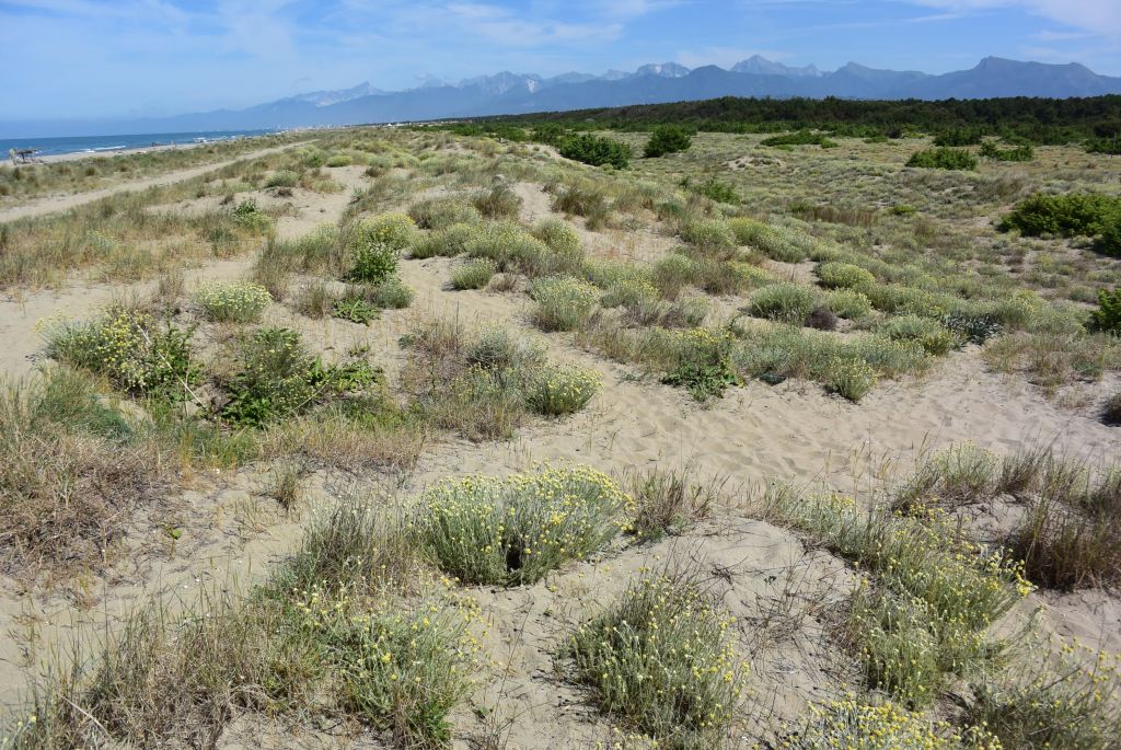
Here are the activities the team proposes to carry out on the coast: the most important aspect is to identify and then monitor sediment dispersion along the coast; that will be achieved using a UAV equipped with optical camera and analyzing optical and radar satellite images, which will also be functional to evaluate coastline variations at a local scale and at the scale of the physiographic unit. Sediment dispersion will also be addressed by means of wireless sensor networks: among the technical solutions that will be proposed there will be devices able to evaluate in real time sediment accumulations and sand punctual transport (sediment traps and instruments measuring the height of the sand layer). In addition, coarse sediment transport can be defined improving and further developing the low-frequency RFID technique already successfully employed along the Tuscany coast. Beach and dune evolution will be studied using a UAV and a laser scanner, which can be used to monitor protection structures such as breakwaters and groynes as well, and also developing video-analysis systems. Wireless sensor networks will be implemented also to analyze aeolian transport through the integration of devices able to measure the air flow at different levels. Frequent vegetational analyses will be carried out on coastal dune vegetation either in situ and using a UAV; the state of dune and coast vegetation will be evaluated by means of optical satellite image analysis. The portable spectroradiometer “Fieldspec” enables a detail analysis of mineral, chemical, and grain-size composition of beach and dune sediment samples. Finally, mathematical models intended to define the evolution of the coast system will be implemented.
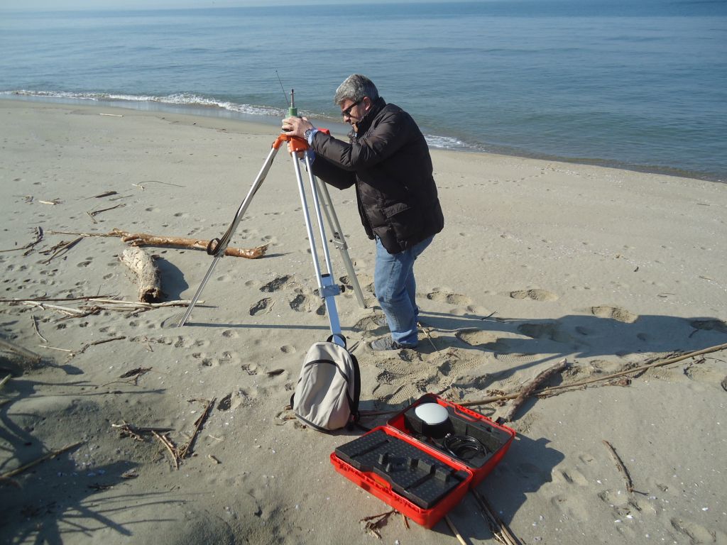
Here are the activities the team proposes to carry out on the sea: multiple wireless sensor networks based on the ZigBee protocol will be employed to measure longshore and cross-shore sediment transport (sediment traps) and to analyze and record wave and current physical parameters (wave buoy and currentmeter): these solutions are based on low cost hardware platforms both for microprocessors (Arduino, Intel Galileo) and for measurement systems. The offshore wireless sensor architecture will be integrated with the technologic infrastructures on the coast that are connected to a data storing centre, which will enable remote monitoring activities in real time. Optical and radar satellite image analysis allows to evaluate offshore sediment dispersion and the identification of the main littoral currents that are responsible of sediment transport pathways. In addition, an AUV will be used to carry out a series of surveys that are crucial to complete the analysis of this sector: sea floor topography and bathymetry, sediment sampling, evaluation of submerged beach erosion and accretion processes, evaluation of river mouth siltation processes. At last, the mathematical models conceived for the other two sectors will be integrated with those proposed for the sea in order to define an integrated approach to coastal management.
The key points:
- welcoming a paradigm shift: the coastal environment needs to be considered as the result of processes acting from the drainage basins to the offshore (transversal scale) and not only along the coast (longitudinal scale);
- evaluating the sediment budget from the source (rivers) to the sink (offshore): how much sand is delivered by rivers to the coast? How much of this sand is lost offshore?
- counteracting local erosion processes using a proper redistribution of sand from accreting areas to retreating areas within a single littoral cell or between adjacent cells (by-passing or back-passing);
- setting up a mutual sharing of knowledge and actions with universities, local governments, stakeholders, professionals, schools, and citizens in response to the coastal erosion issue along the Tuscany coast;
- making right decisions in accordance with the precautionary approach.