
 Full PHD position
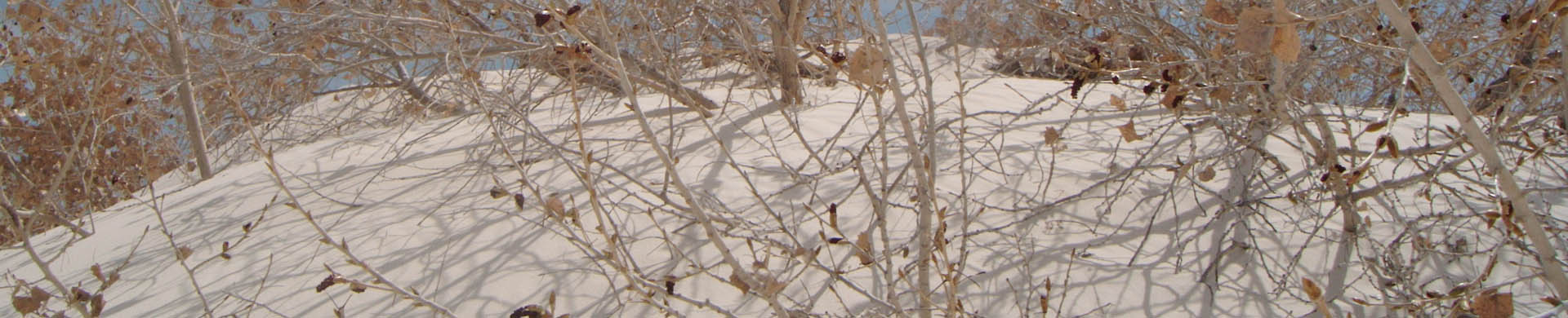
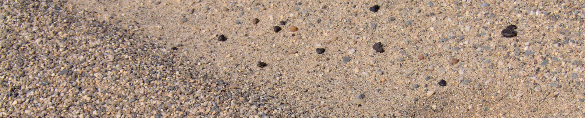
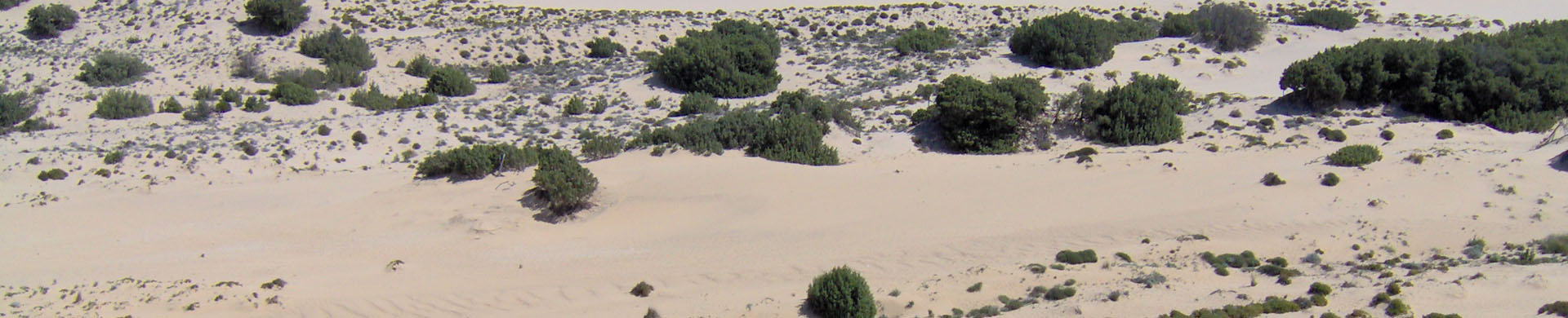
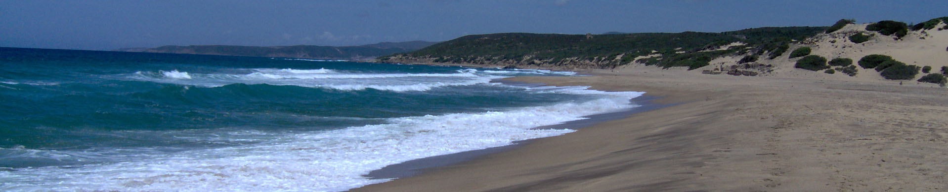
After earning the Master’s degree in Geology at the Department of Earth Sciences (DST) of University of Pisa, Serena started since 2008 a collaboration still active with the researchers of the DST. In particular, she has been working on the study and reconstruction of the stratigraphic-depositional architecture of Late Quaternary deposits in the Pisa Plain within the Sedimentology and Stratigraphy area, with the Assistant Professor G. Sarti. She has been a scientific collaborator in the project of the Provincia di Pisa carried out by the DST for the monitoring and safeguard of the “Parco di San Rossore-Migliarino-Massaciuccoli” coastal area (beach ridge and dunes), working on geologic and geomorphologic survey, sampling, granulometric analysis, elaboration and interpretation of sedimentological and geochemical data concerning with the present day beach ridge and dune deposits.
She contributed to the production of the Geological Map 1:50.000 “Foglio 273 Pisa” within the Italian CARG project (Geologic Maps-ISPRA), carrying out the geologic survey of the Pisa Plain Quaternary deposits and collaborating in the writing of the related “Note Illustrative”. http://www.isprambiente.gov.it/Media/carg/273_PISA/Foglio.html
She worked along with the Assistant Professor. G. Sarti (DST) in the geologic survey, sampling and study of present day coastal and deltaic environments related to the Rodano river (France).
For the Comune di Pisa she has been working on stratigraphic analysis and reconstruction of the depositional architecture of the subsurface in the modeling of the subsidence phenomenon involving the buildings structural failures. She has also been working on the upgrade of the Comune di Pisa “Geologic and Geomorphologic maps” and in the production of the “Top of subsurface soft clays map” (1:10.000 - 1:20.000).
http://www.comune.pisa.it/doc/sit-pisa/nuovo_prg/el_tavole.htm
Within the study on the salt wedge intrusion phenomena carried out by the Comune di Pisa along with the Prof. M. V. Civita, she contributed together with the Assistant Professor. G. Sarti (DST) to the modeling of the aquifer system in the Pisa coastal plain.
www.ambiente.comune.pisa.it/documenti.../testi/cuneoXweb(LD).pdf I
In the 2012 she earned the Professional Geologist Qualification at the University of Pisa.
In the 2013 she got a research fellowship still active at the Department of Physics and Earth Science (DiFeST) of the University of Parma, under the supervision of Prof.ssa M. Sgavetti, concerning the contribution of the remote sensing data and techniques (traditional and innovative) in the hydrocarbon exploration, with focus on radar imagery analysis and on geomorphometric analyses.
In addition, she is a PhD student belonging to the Sedimentology and Stratigraphy research group of the Department of Biological, Geological, and Environmental Sciences (BiGeA) of the University of Bologna. Her research project, supervised by the Assistant Professor Veronica Rossi (BiGeA), is aimed to the reconstruction of the late holocenic paleo-environmental evolution of two coastal plain zones (Pisa and Po delta plain) through an integrated methodological approach between remote sensing data and subsurface stratigraphy. For the Pisa Plain area a collaboration is going on with the Assistant Professor G. Sarti (DST).
In her last PhD year Serena has spent a three-months training on the processing and analysis techniques, and on the interpretation of satellite images at the “Instituto de Geociencias” of the University of Campinas (San Paolo-Brazil) under the supervision of the Prof. Roberto Carlos de Souza Filho.
Main scientific skills: Quaternary deposits geologic survey; on-site coring assistance; on core pocket and vane tests; cores stratigraphy (log); facies analysis; interpretation of subsurface stratigraphic data (stratigraphic-sequential criteria) and reconstruction of 2D/3D depositional models; georeferencing (ArcGIS); database creation and processing (ArcGIS); spatial data elaborations (ArcGIS); geomorphometric analyses of drainage basins (ArcGIS and TecDEM); processing, analysis and interpretation of optical multispectral satellite imagery (ENVI); digital photogrammetry (ERDAS); sediment/water sampling and geochemical analysis (mainly chromatography and XRF); granulometric analysis of sediments.
- Address: Earth Sciences Department - University of Pisa, Via S.Maria 53 Pisa Tuscany 56124 Italy
- Email: This email address is being protected from spambots. You need JavaScript enabled to view it.
Mobile: +39 - 3471289077